Naturally Northern
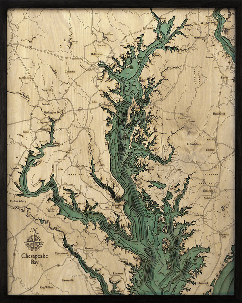
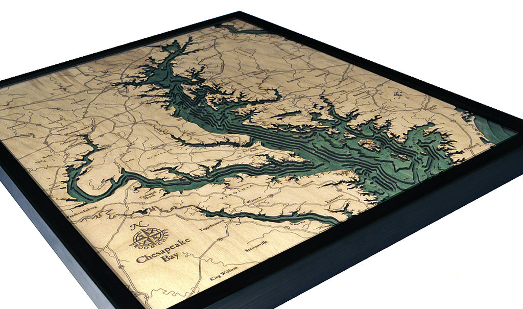
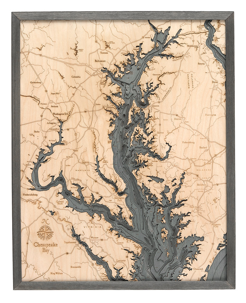
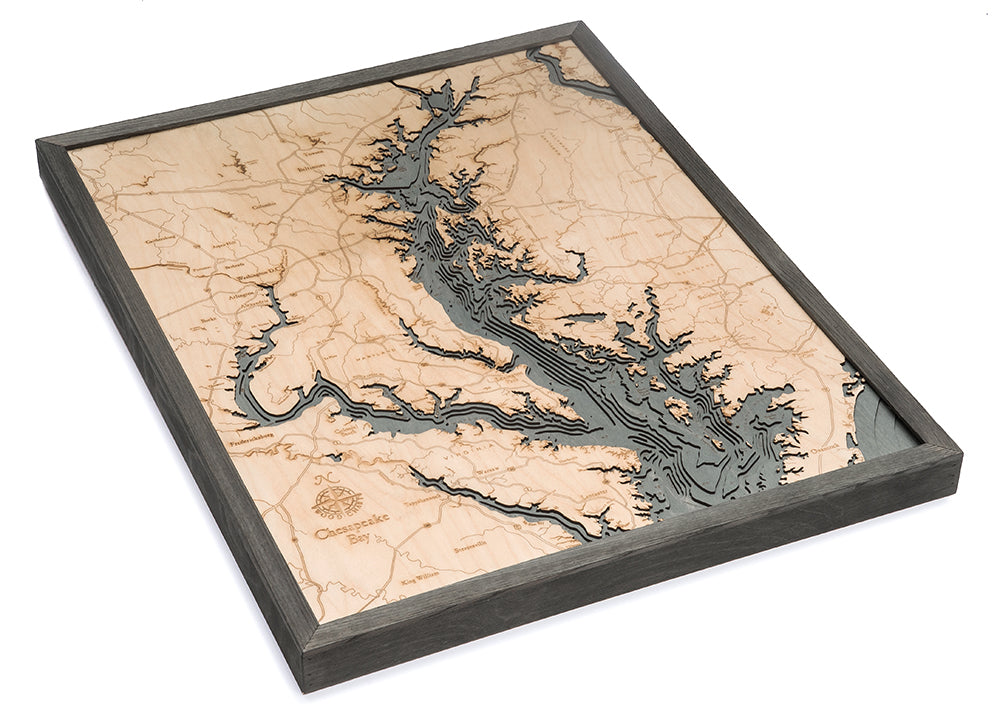
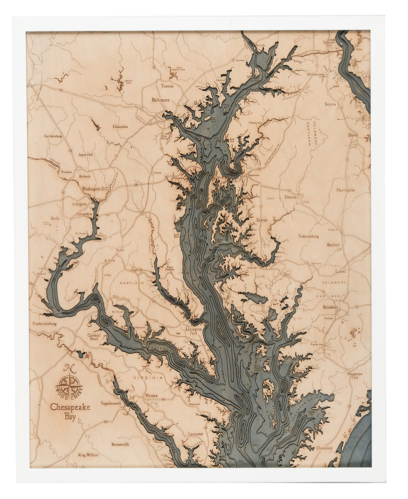
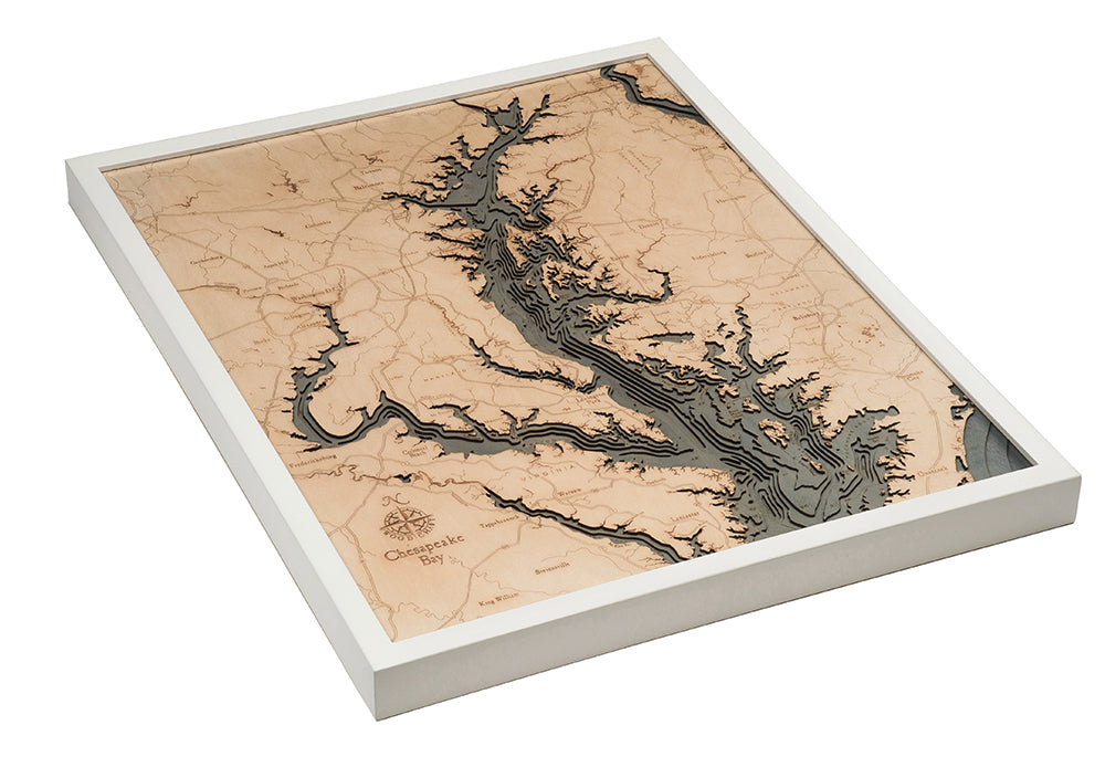
Chesapeake Bay 3-D Nautical Wood Chart, Large, 24.5" x 31"
Chesapeake Bay 3-D Nautical Wood Chart, Large, 24.5" x 31"
Regular price
$332.00 USD
Regular price
Sale price
$332.00 USD
Unit price
per
Couldn't load pickup availability
The Chesapeake Bay was created more than 12,000 years ago when the Susquehanna River valley was flooded by melting glaciers. Home to the largest estuary in the United States, this coastal community is known for fishing, watersports, and incredible sunsets.
Points of Interest on the Chesapeake Bay Wood Map:
Arlington, Baltimore, Dover, Lexington Park, Nanticoke River, Pocomoke Sound, Potomac River, and Washington D.C.
Chesapeake Bay Wood Map Details:
- Made of High-Grade Birch
- Solid wood frame made to fit
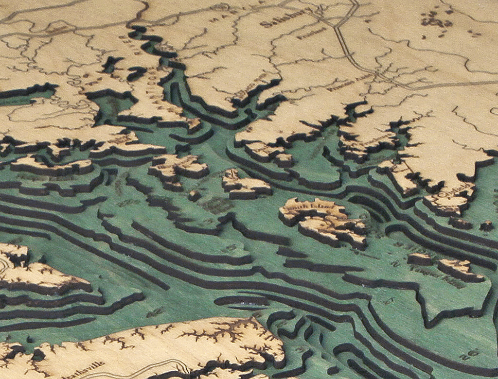
- Laser-cut depth
- Engraved names and locations
- Acrylic glass protection
- Arrives ready to hang
Frame Styles:
- Dark Brown Frame, Greenish Blue Water
- Rustic Grey Frame, Greyish Blue Water
- White Frame, Greyish Blue Water
